Choropleth Map
Description
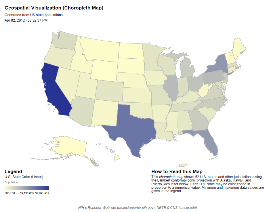
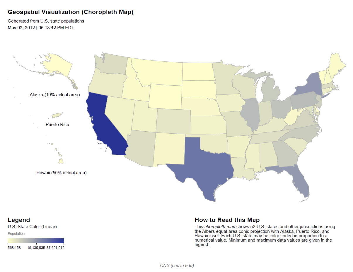
Color countries of the world or states of the US in proportion to numeric data.
- When using the world base map your input data must include a text-valued column that identifies countries using the names listed in Recognized country names.
- When using the United States base map your input data must include a text-valued column that identifies states using the names listed in Recognized state names.
Features
- Optionally scale each individual dimension of numeric data logarithmically or exponentially.
- Legends for each dimension show how extrema of the data correspond to visual representations.
Examples

Download example data
Download PDF
For more examples see these sections of the Sci2 tutorial:
The license could not be verified: License Certificate has expired! Generate a Free license now.
Usage Hints
- It may be difficult to see any color coding applied to comparatively small regions on the map. In this case you may wish to geocode your region names as (longitude, latitude) coordinates and use Proportional Symbol Map, perhaps disabling circle size coding and exterior color coding, then using for interior color coding whichever column you would have used with Choropleth Map.
Links
See Also
The license could not be verified: License Certificate has expired! Generate a Free license now.